

Have you ever experienced a severe weather event, like a hurricane or a tornado? Researchers have shown that climate change is causing such weather events to become more extreme and more frequent, destroying communities and infrastructure. To determine which areas are most at risk, researchers from Canada studied the environmental effects of a powerful flooding event that occurred in southwestern British Columbia (BC) in November 2021.
They focused on a type of severe flooding event that is characteristic of the North American Pacific coastal region, called an atmospheric river. An atmospheric river occurs when a long, narrow vapor cloud flows toward land from the Pacific Ocean, causing heavy rainstorms. In November 2021, an atmospheric river in southwestern BC destroyed numerous regional highways, pipelines, power lines, and railways within its path. Over 18,000 people were evacuated due to flooding, and 6 people died.
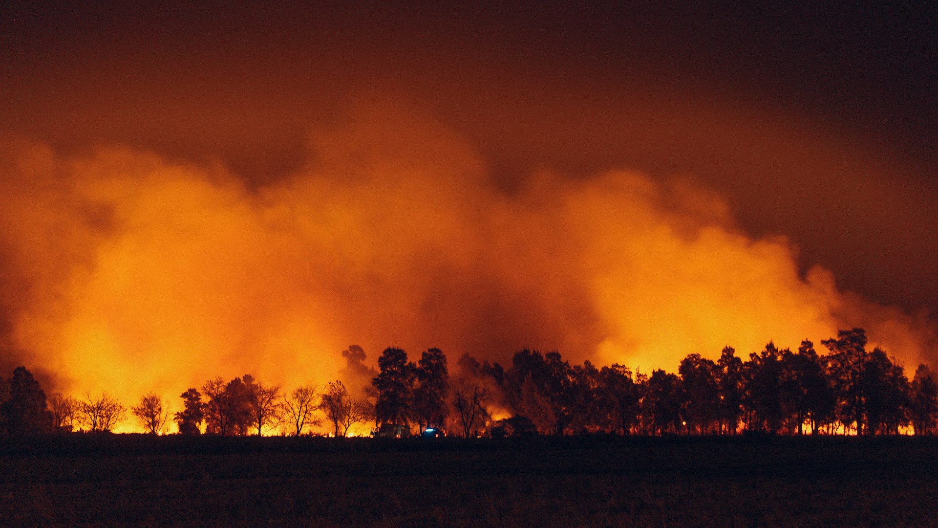
The team explained that before the storm, BC experienced a severe drought and an unprecedented heatwave, followed by widespread thunderstorm activity. In 2021, lightning and human activity caused nearly 1,000 wildfires, which led to the third-worst wildfire season ever recorded in BC, partially because trees grow back slowly in forests that have been cut down or harvested. Poor vegetation recovery makes harvested forests more vulnerable to wildfires than old-growth forests. The November atmospheric river occurred shortly after this wildfire season.
To determine how the atmospheric river impacted southwestern BC, the researchers analyzed approximately 70,000 square kilometers (27,027 square miles) of affected area. They compared satellite images of southwestern BC from Google Earth, Sentinel, and Landsat taken before and after the event to detect changes in river channels and identify geohazards, like landslides and debris flows. They also used satellite images and Canadian government data to identify which forests had been harvested within the study area. The researchers then traversed the area to confirm their remote analyses.
The researchers used a type of 3D remote sensing, called light detection and ranging, or lidar, to measure how the 2021 atmospheric river redistributed sediment in the Coquihalla and Coldwater River valleys. With the help of lidar, the researchers discovered that both rivers had severely unstable banks due to erosion from the flooding event. Along the Coquihalla River, approximately 53,000 cubic meters (1,871,677 cubic feet) of sediment were eroded, while nearly 50,000 cubic meters (1,765,733 cubic feet) of sediment were eroded along the Coldwater River.
The researchers also found that hillslope geohazards increased the volume of sediment in both rivers. And in some cases, upstream areas with a history of forest harvesting and wildfires also affected stable banks downstream. For example, they identified debris flows on an unstable hillslope that triggered a landslide on a riverbank downstream. They observed that the river and stream channels shifted due to a sudden addition of sediment from hillslope geohazards and floodwater during the event.
In total, the researchers documented over 1,300 geohazards along 47 kilometers (about 30 miles) of the Coquihalla River and 19 kilometers (about 12 miles) of the Coldwater River and nearby creeks. Nearly half of the geohazards originated in an area with a history of wildfires or forest harvesting. Of the 155 geohazards at the Coquilhalla River, 43% occurred below forest harvesting resource roads, and of the 117 geohazards observed at the Coldwater River, 29% originated in areas with past wildfires.
The researchers suggested that their findings could help scientists predict where severe geohazards will occur during extreme weather events, since both watersheds had geohazards originating in harvested forests. Before 2000, clear-cutting was a widespread practice in BC, and the team’s results demonstrate that unsustainable harvesting practices like this can have lasting environmental impacts.
The researchers concluded that both forest harvesting and wildfires contributed to the severe impacts of the November 2021 atmospheric river, causing catastrophic landslides and debris flows to occur in traditionally dry regions. They suggested that more accurate risk assessments can better equip communities for severe weather events like this. While the next atmospheric river that lands in the Pacific coastal region may be worse than the last, this study can inform scientists and communities about which areas it might affect most.
