
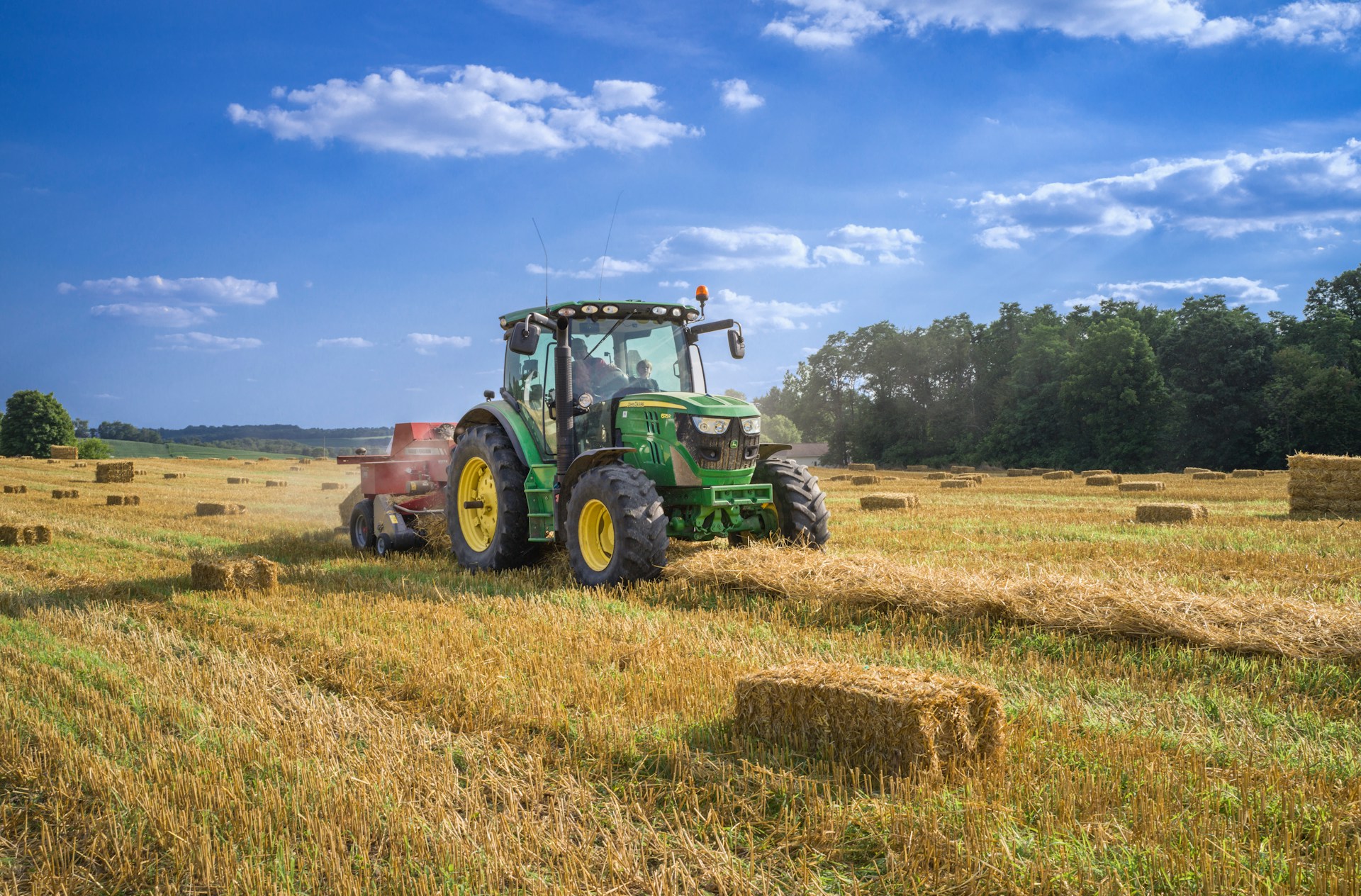

Since the 1850s, plowing and clear-cutting in modern agriculture have increased how fast soil erodes in the Upper Mississippi River Valley. Across the globe, farming strips soil up to 100 times faster than natural processes. It also removes farmable land and clogs waterways, threatening long-term environmental sustainability. However, scientists in the past have struggled to separate the effects of land-use changes from the transition out of the last ice age over the past 20,000 years.
To determine whether current farming practices are sustainable, researchers from Minnesota recently measured the speed at which soil eroded during the ice age transition and compared it with modern agricultural erosion. They focused on the Trout Creek tributary of the Mississippi River. This tributary has 2 step-like formations, or terraces, on its bank that represent past floodplains before the river eroded to its current level.
The oldest, upper terrace is about 14 meters (50 feet) above the lower terrace, which is about 8 meters (26 feet) above the modern floodplain. Scientists studying nearby areas have suggested that the terraces contain sediment from the last ice age, 20,000 years ago, referred to as the Last Glacial Maximum, to today.
In the upper terrace, the researchers pushed an empty cylinder into the ground, like a straw into a layer cake, to collect a cylindrical sample of sediments about 4 centimeters (1.5 inches) wide and 6 meters (20 feet) deep, called a sediment core. They collected slices of this core from 2 meters (6 feet) and 6 meters (20 feet) to find the terrace’s age.
Some grains in the sediment trap electrons while buried and release them when exposed to light. So the team shone light on the sediment slices to stimulate these electrons and measure the intensity of light emitted, known as their optically stimulated luminescence. Brighter light emissions indicate the sediment is older and was buried for a longer period of time. Using this method, they confirmed that the deep sediment slice was 22,000 years old, and the shallow sediment slice was 20,000 years old, dating the terrace back to the Last Glacial Maximum.
Next, the team drilled into the upper terrace with an auger to collect 25-centimeter (10-inch) wide plastic tubes of sediment. They pulled 4 samples from 0 to 2 meters (0 to 6 feet), and 1 sample from 6 meters (20 feet) deep. They explained that minerals in the sediment called quartz produce the radioactive form of the element beryllium, known as 10Be, when exposed to the Sun, so low 10Be means the sediment was buried quickly and had little sun exposure. The team measured the concentration of 10Be in each sediment sample and used an online calculator to estimate how quickly it eroded. The researchers calculated that during the Last Glacial Maximum, 0.073 millimeters (0.003 inches) of surface sediment were removed per year.
The researchers collected similar samples from the lower terrace and used optically stimulated luminescence to determine that it was between 22,000 and 14,000 years old. This terrace was the floodplain during the transition out of the Last Glacial Maximum, or deglacial period, where temperatures warmed and permafrost retreated. They measured the concentration of 10Be in samples from this terrace and determined that 0.049 millimeters (0.002 inches) of surface sediment were removed per year.
Finally, the researchers measured 10Be in a sediment sample from the modern floodplain, deposited between 14,00 years ago and today. They found that the sediment had eroded 0.053 millimeters (0.002 inches) per year during that interval, at a rate slower than it had during the glacial period, but similar to the deglacial period.
The researchers compared their findings to the average soil loss caused by modern agriculture, as reported by 4 previous scientists studying the area. They saw that modern farming removes an average of 0.60 millimeters (0.02 inches) of soil per year, which is 8 to 12 times greater than all the natural erosion rates they calculated.
They concluded that the recent spike in soil loss from agriculture greatly exceeds that caused by the largest natural climate transition in recent Earth history. Human-driven erosion shows an upward “hockey stick” trend like the one seen in global temperatures, suggesting that similar trends could exist throughout Earth systems. The team concluded that modern agricultural practices aren’t currently sustainable. While measures like native plant reintroduction can help curb this trend, more research is required to determine how best to limit long-term erosion.
