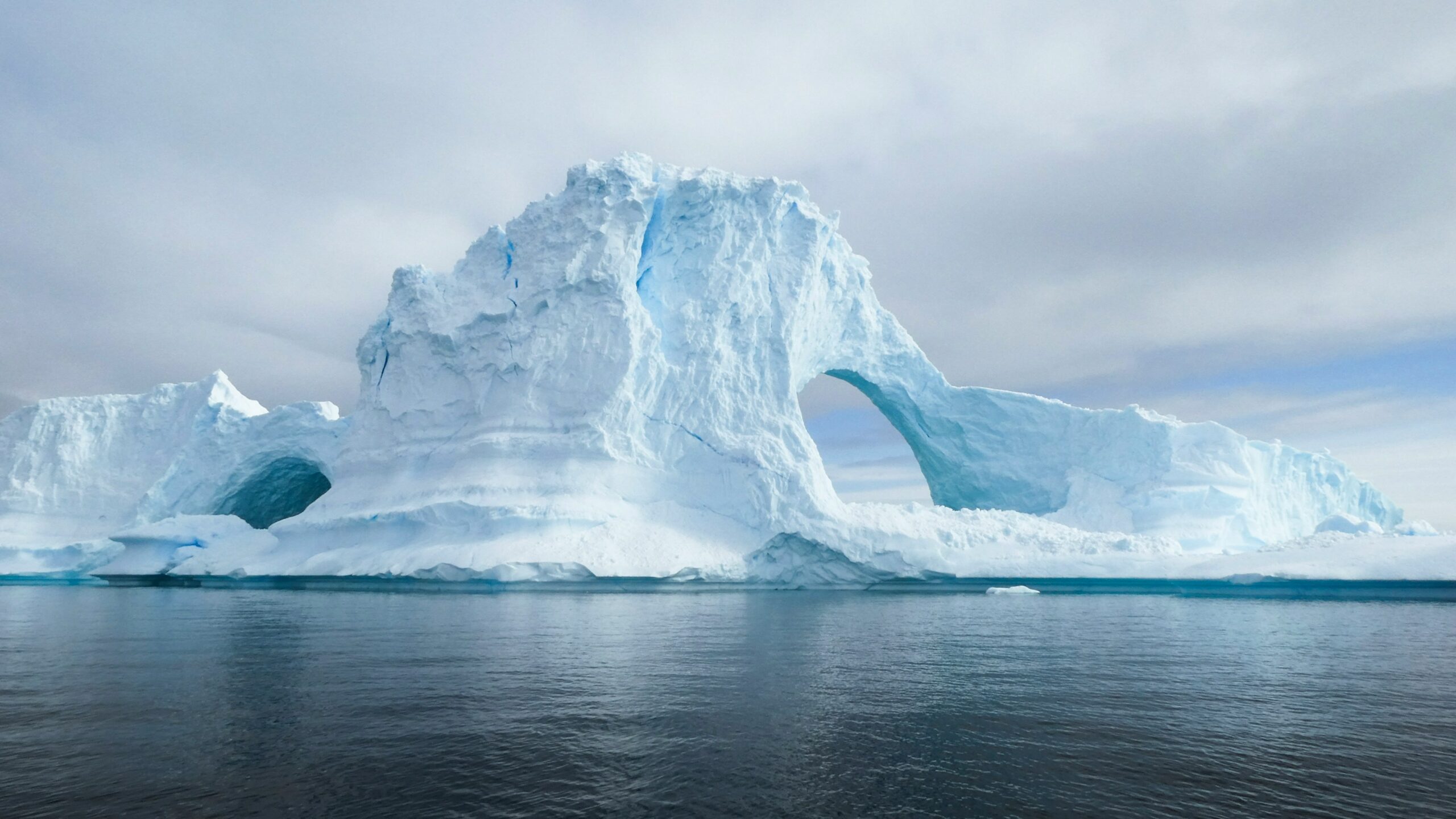

If the East Antarctic Ice Sheet melted, the average global sea level would rise by approximately 52 meters or 170 feet, putting low-lying cities and ecosystems at risk. One team of researchers recently observed the first collapse of an ice shelf on the East Antarctic Ice Sheet, called the Conger-Glenzer Ice Shelf, or CGIS. Scientists in the past thought this ice sheet was stable because its volume wasn’t changing, but they were wrong. These researchers studied the CGIS collapse to illuminate the effects of global warming on the East Antarctic Ice Sheet and determine how it’s changing over time.
Research on the CGIS began in 1997 and culminated in March 2022, when this 1,200 square kilometers or 463 square miles of ice shelf disintegrated. Using satellite imagery, altimetry, and radar, the team documented several processes that sped up ice loss. These processes included warm ocean currents that melted the ice shelf from below, called basal melting, ice loss due to more melt from the glacier, called dynamic thinning, and lengthening of cracks in the ice, which increased its total fracture length.
They observed the CGIS collapse over 4 stages throughout the 25-year study period. Stage 1 of the retreat, which began in 1997 and lasted 3 years, saw the separation of the CGIS from the Shackleton Ice Shelf due to ice chunks breaking off glaciers, a process known as calving. During this stage, calving resulted in a net loss of 85 square kilometers or 33 square meters of ice and formed a new western front on the CGIS. This new front anchored itself to a high point on the sea floor, called a pinning point. Pinning points prevent ice flow and increase ice shelf stability.
Stage 2 lasted from 2000 to 2011. During this time, the CGIS lost 10% of its total surface area due to dynamic thinning of the ice shelf and more basal melting. Stage 2 ended when the western edge of the CGIS separated from the pinning point.
During stage 3, from 2012 to 2019, the CGIS lost 10 meters or 33 feet of ice thickness. In 2017, the team saw a sudden increase in visible cracks in the ice and total fracture length using satellite imagery. By the end of stage 3, the team inferred that the ice shelf was highly susceptible to further destruction.
Stage 4 occurred between 2019 and 2022 and was characterized by further expansion of surface fractures on the ice sheet. This process caused more thinning and changed the calving style, creating rifts. These rifts severely weakened the ice shelf and aided in the complete collapse of the CGIS in March 2022.
The researchers explained that fractures can lead to instability and make ice sheets more sensitive to warming. Between 2002 and 2017, they estimated that fractures on the CGIS grew by 2 kilometers or 1.25 miles per year. After 2017, this increased to 14 kilometers or 8.6 miles per year. They suggested this increase in fracture length was one factor that led directly to the collapse of the CGIS, as the ice shelf’s instability was worsened by warm ocean water seeping into the cracks.
The team proposed that infilling of ocean water into the fractures fast-tracked the separation of the CGIS from its pinning point. After the ice shelf detached from the pinning point, ice flowed more quickly into the ocean, thereby speeding up its collapse. After the CGIS collapsed in March 2022, the flow of ice reversed, likely because of the release of compressive pressure on the front of the ice sheet, similar to a recoil effect.
The researchers proposed that their study provides new insights into how the East Antarctic Ice Shelf has evolved and how global warming affects ice shelves. The team concluded that the CGIS disintegrated because it had prior structural and internal stressors, making it vulnerable to environmental change. They stated that understanding the vulnerability of ice shelves like the CGIS can help climate scientists refine their projections of future sea level rise.
