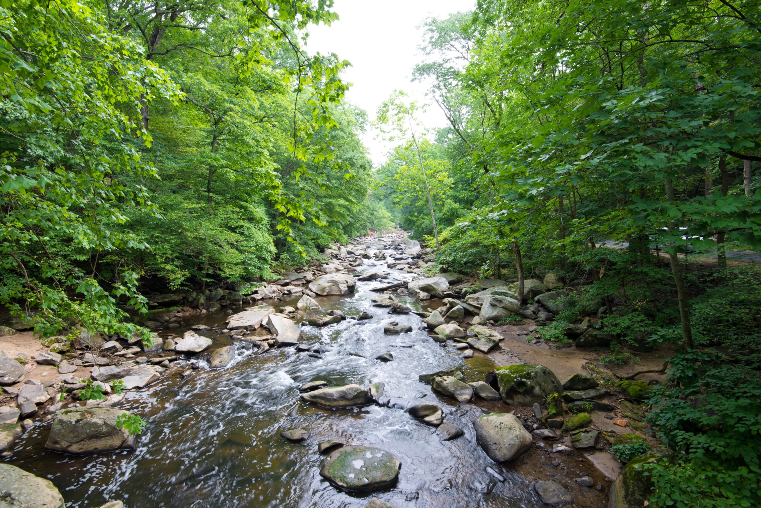

When we learn about the water cycle in school, a vital component is often overlooked: groundwater. Groundwater is stored in underground areas where the sediment is completely saturated, called aquifers. The depth of saturation is called the water table, which moves up and down over time based on rainfall. Where the water table and the bottom of rivers overlap, groundwater becomes surface water. The water that enters rivers from groundwater is known as baseflow.
Scientists are interested in baseflow because it can keep rivers flowing throughout droughts, regulate water temperature, and sustain the habitat of animals that rely on surface water sources. Knowing the amount of baseflow, referred to as the baseflow index, can also help scientists understand other properties of the hydrologic system, such as contaminant transport, nutrient cycling, and flood dynamics. Scientists also use baseflow indices to project future flood and water scarcity risks, so they need these calculations to be accurate.
Researchers calculate baseflow indices using Earth System Models or ESMs, which use mathematical equations and computer simulations to predict groundwater and surface water flow. These models and their predictions have varied widely over their history. For example, different scientists have calculated global baseflow indices ranging from 86% to 28%. An international team of researchers recently created a new type of model that incorporates more observational data than the previous models. By incorporating more real-world measurements into their model, the team aimed to make more accurate baseflow estimates than previous researchers.
First, the team collected real-world baseflow measurements. To do this, they used data from stream gauges monitored by national agencies worldwide, such as the National Weather Service in the United States. They selected streamflow observations drawn from 15,496 basins worldwide that met several qualifications, including having daily observations for at least 5 consecutive years and being less than 2,500 square kilometers (or about 1500 square miles) in area. They explained that this size limit ensured sufficient and accurate measurements, since stream gauges are most accurate at smaller scales.
Next, the team determined how much of the streamflow they observed was from baseflow. They used existing models, called separation models, to make this determination. Separation models use formulas based on precipitation and streamflow values to calculate how much river flow was supported by groundwater. They used 12 different separation models from various global entities, including the UK Institute of Hydrology and the US Geological Survey. They found that the results of these 12 separation models were in relative agreement and consistent with real-world observations.
The team used the average result from the 12 separation models as their observational baseflow index value. They used this index to better constrain the ESMs and to serve as a basis against which the models could be tested for accuracy. They observed a mean baseflow of 55% across the basins, and the mean simulated baseflow of the ESMs was 52%, a satisfying alignment. However, although the mean values agreed, the research team remained concerned with the variability in individual basin calculations, which had a mean difference of 38% between observational and simulated baseflow indices.
The team then faced its third obstacle, which was transferring the observed data from 15,496 basins to a global baseflow index calculation. They used a method called the emergent constraint approach. This approach takes the known baseflow indices from individual basins and uses them to find the unknown, unobservable global baseflow index. This process included plotting the results from 50 ESMs onto a graph to find a shared relationship between the ESM values and their global baseflow predictions. From this trend, they calculated an average global baseflow value of 59% +/- 7% from the 50 ESMs.
The research team concluded that their global baseflow index calculation was innovative in its use of observational data to improve the models, but it won’t be the last. Researchers are continually experimenting with new ways to improve their ESMs and calculations by increasing the complexity of their hydrogeological conditions and including variables previously overlooked or ignored for simplicity. As scientists improve their baseflow index calculations, so do their preparations for future floods and water scarcity.
