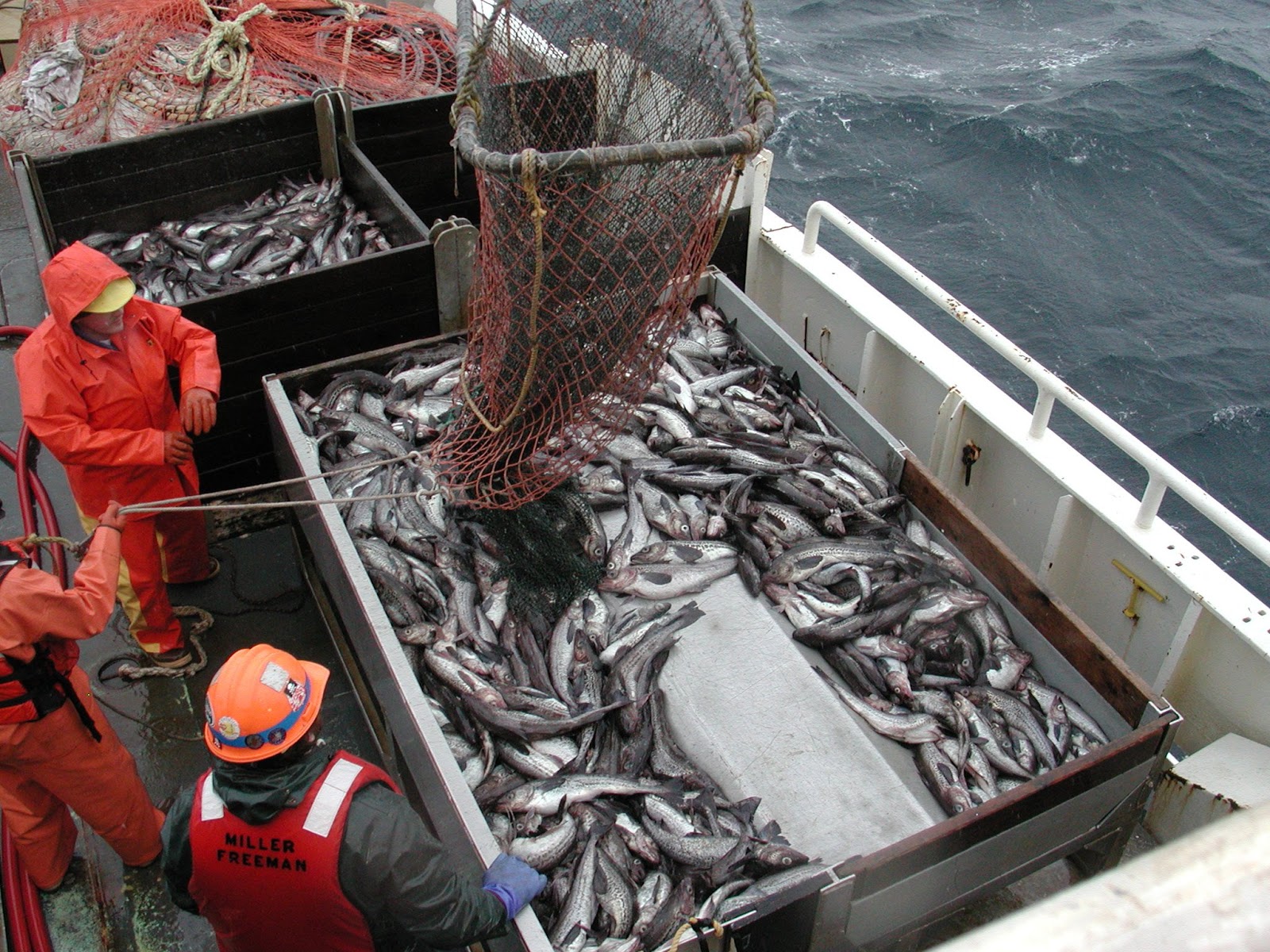

If you live in a developed country and eat seafood, there’s a very good chance that the fish on your plate was caught by a commercial fishing boat. You may know whether your tuna comes from the Pacific or the Atlantic, but if pressed for details on where exactly that tuna fishery operates, your best guess might be, “somewhere in the ocean?”
Don’t feel bad—your answer perfectly sums up the challenge of identifying just how much fishing is happening, and where. The ocean is a vast frontier, and patrolling every corner of it is an impossible undertaking. Unlike the fields and feedlots of industrialized agriculture, the boundaries of fisheries are dynamic, mobile, and less-clearly defined. Despite the importance of fisheries for human food security, we know surprisingly little about how much of the ocean they cover, or just how much fishing they’re doing—until now.
Eyes on the seas
In a recent study published in the prestigious journal Science, a research team led by David A. Kroodsma used a combination of satellite data, artificial intelligence, and statistical analysis to provide a global snapshot of commercial fishing activity. Kroodsma and co-author Timothy Hochberg work for Global Fishing Watch, an organization that launched a publically-available web platform allowing users to track fishing activity in real time, worldwide.
Following fishing vessels at sea isn’t quite as straightforward as one might think. First, there’s the issue of mistaken identity. Millions of boats traverse the oceans, but not all of them are used for fishing: there are also military craft, cruise ships, oil tankers, and cargo ships, to name a few. International law requires that vessels over a certain size be fitted with a radio device that transmits the vessel’s location to other boats in the area in order to prevent collisions. Over time, this automatic identification system–or AIS–has grown more sophisticated, sending a vessel’s location information via satellite. Connecting the dots of individual AIS transmissions forms a detailed picture of a boat’s journey beyond the horizon, enabling us to “watch” where it goes while remaining on dry land.
For this study, the research team started with a staggering amount of data: 22 billion satellite locations, recorded from 2012 to 2016, and belonging to a mixture of fishing and non-fishing vessels. To determine how much fishing was happening on a global scale, the researchers needed to differentiate between fishing boats and the other commercial craft that transmit AIS signals. To do this, they used two convolutional neural networks referred to as CNNs (not to be confused with the cable news channel). CNNs are complex computer networks that are inspired by how your eye sends signals to your brain and can be used to “see” and process details within images. The team used these networks to identify fishing boats based on their physical characteristics (i.e. length, tonnage, and engine power), and to recognize the AIS pattern a boat made when it was fishing. From the original 22 billion AIS positions, this analysis identified over 70,000 individual commercial fishing boats.
The global fishing “footprint” and the human factor
When the tracks of 70,000 vessels were mapped, they revealed that fishing occurs in over half of the world’s oceans (55%). In 2016 alone, these vessels covered a combined distance equivalent to travelling to the moon and back an astonishing 600 times. Fishing also occurs unevenly throughout the oceans, with hotspots identified in the northeast Atlantic, northwest Pacific, and in upwelling regions off South America and West Africa.
To understand the driving forces behind these fishing patterns, the researchers analyzed how fishing activity varied in response to seasons, temperature, cycles of marine plant growth, and fuel prices. Interestingly, they found that the amount of fishing fluctuates based on human social schedules—seen as drops in activity on weekends and holidays—rather than variations of temperature or marine productivity. Contrast this with agriculture, which is much more closely tied to seasonal cycles. The study also found that the cost of fuel does not have a large effect on the amount of fishing that takes place, possibly due to government subsidies that make fuel more affordable even as prices rise.
Next steps for ocean monitoring
With the majority of the world’s fish populations declining or overfished, it is important to develop new tools to understand our impact on the marine environment. While surveillance alone won’t stop overfishing, it is a crucial first step towards achieving greater transparency in the fishing industry and working to reduce our human footprint on the global oceans.
Vessel location data provides much-needed insight into the world of commercial fishing, and can complement existing efforts to bring law and order to the oceans. Making this information freely available is a game-changer, with initiatives like Global Fishing Watch empowering researchers, governments, and concerned citizens to delve deeper into the data and find answers to difficult questions: What areas of the ocean are most vulnerable to overfishing? Which boats are breaking the rules? Where does the seafood we buy actually come from? With some supermarkets beginning to display information on seafood origin, consumers are becoming more capable of making sustainable and ethical purchasing choices. By using technology to keep an eye on commercial fishing fleets, seafood retailers and consumers alike will no longer be able to plead ignorance when it comes to the provenance of their favorite dish.
